A PDF has no idea how big anything on it really is
A PDF records positions in points, not real-world scale. To measure a plan you calibrate against a known length — and areas scale by the square.
A PDF has no idea how big anything on it really is. A page can be a floor plan drawn at 1:100 or a survey at 1:500, and the file records neither ratio — a five-metre wall is just some number of points on the page, the same as any other line. Points are the format's only unit, one point being 1/72 of an inch, and they describe positions on the sheet, not distances in the world. To measure a drawing, you have to tell the file what its own scale is first.
This follows from what a PDF page actually is: a set of coordinates in an abstract space. The drawing knows a line runs from one point to another. It does not know, and was never told, that those two points are the ends of something three metres long. That knowledge lived in the drawing's title block or in the drafter's head, and it did not come along into the geometry.
Calibration: teach the file one length you know
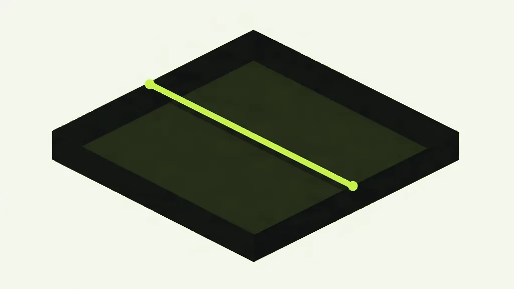
Our measure tool works the way a surveyor would with a paper plan and a known dimension. You draw a line over something whose real length you know — a stated door width, a scale bar, a dimensioned wall — and type in that length and its unit. From those two numbers it works out how many real-world units one PDF point is worth: the known length divided by the line's length in points. Everything after that is arithmetic on that single ratio. Draw a distance and it multiplies the line's length in points by the ratio; the answer comes out in your chosen unit, one of millimetres, centimetres, metres, inches or feet.
The accuracy of every measurement therefore rests on that one calibration line. Draw it carelessly over a 10mm feature and read it as 10mm and every distance on the page inherits the error, scaled up. Calibrate against the longest known dimension you can find, not the shortest, because a small mistake on a long reference line is a smaller fraction of it — the reference is a lever, and a longer lever is steadier.
The mistake everyone makes with area
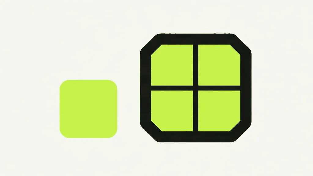
Lengths scale by the calibration ratio; areas scale by its SQUARE, and this is the step people get wrong constantly. If you double the scale — decide each point is worth twice as much real distance — every length on the page doubles, but every area quadruples. A room that reads as four square metres at one calibration reads as sixteen at double it, not eight. The tool handles this correctly, squaring the ratio for areas and applying it plainly for lengths, but it is worth understanding rather than trusting blindly, because it is exactly the sanity check that catches a calibration you fat-fingered: if your areas look wildly off and your lengths look nearly right, your scale is out by a factor whose square is doing the damage.
The geometry is exact; the drawing is the weak link
The measurement maths itself is pure and resolution-independent — it works in PDF points regardless of how the page is displayed, and it is unit-tested precisely because it is the part that must not drift. Straight-line distances use the ordinary distance formula; areas of a traced shape use the shoelace formula, which gives the exact area of any polygon from its corner points, and the perimeter is reported alongside. What the maths cannot fix is a drawing that was never quite to scale, or a scanned plan that stretched slightly when it was digitised. The tool measures the page faithfully; whether the page is a faithful record of the building is a separate question it cannot answer.
When you download, your measurements are drawn onto a copy of the PDF as real marks and labels, mutate-in-place, so the page's own text stays selectable underneath — you get an annotated plan, not a flattened picture of one. The scale you set never becomes part of the file, though; it lives in your session while you work. Reopen the plan tomorrow and you calibrate again, because the PDF still does not know how big anything on it is, and never will.
Distances, areas, and the perimeter you get for free
Once it is calibrated, the tool measures two things: a straight-line distance between two points, and the area of a shape you trace by clicking around its corners. Trace a room and it reports the area and the perimeter together — the perimeter because you have already handed it the corners, and adding up the edges costs nothing more. Areas use the shoelace formula, which returns the exact area of any polygon from its corner coordinates, convex or not, so an L-shaped room measures correctly without being chopped into rectangles first. Both formulas are plain geometry, which is exactly why that part can be tested and trusted while the calibration remains the one human-supplied variable that decides everything.
A last practical point: the measurements you draw are saved onto a copy as real marks and labels, so you hand someone an annotated plan they can open in any viewer and read — the numbers are drawn text, not a note that lives only in your session. The scale you calibrated, though, is not written into the file; it exists while you work and is gone when you close the tab. That is deliberate rather than a gap. A scale that silently travelled with the file would be a number later readers might trust without knowing how carefully the calibration line behind it was drawn.
Measure PDFMeasure distances and areas on a PDF at real-world scale.- PDF geometry is in points (1/72 inch) with no record of real-world scale — a plan carries no ratio.
- Calibrate by drawing over a known length and typing it in; every measurement rides on that one line.
- Lengths scale by the calibration factor; areas scale by its square — the classic error.
- Calibrate against the longest known dimension you can, to keep small drawing errors small.
- Measurements are drawn onto a copy; the scale itself is not saved, so you re-calibrate each session.